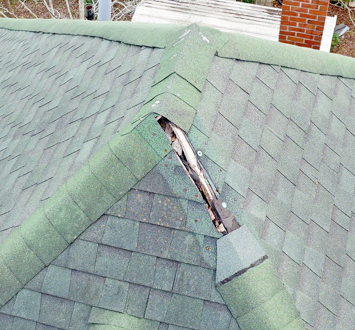
storm and fire damage documentation
Property damage insurance investigation and claims processing for storm and other damage can be expedited using drone photography.
This type of survey is quicker and safer, providing results in less than an hour from the time the pilot arrives on scene to begin documentation.

Image from recent roof photo-survey of a 19th century home in North Carolina.
Aerial drone imaging can assist in expediting claims by providing clear and concise visual information to insurance investigators working through this process.
Aerial 17 is available to work with realtors and insurance agencies to provide aerial drone imaging and video documentation.